Casey Hoffmann · 24 September 2026
Pacific Jetties Become Unexpected Hubs for Citizen Science Data Collection on Microplastic Distribution
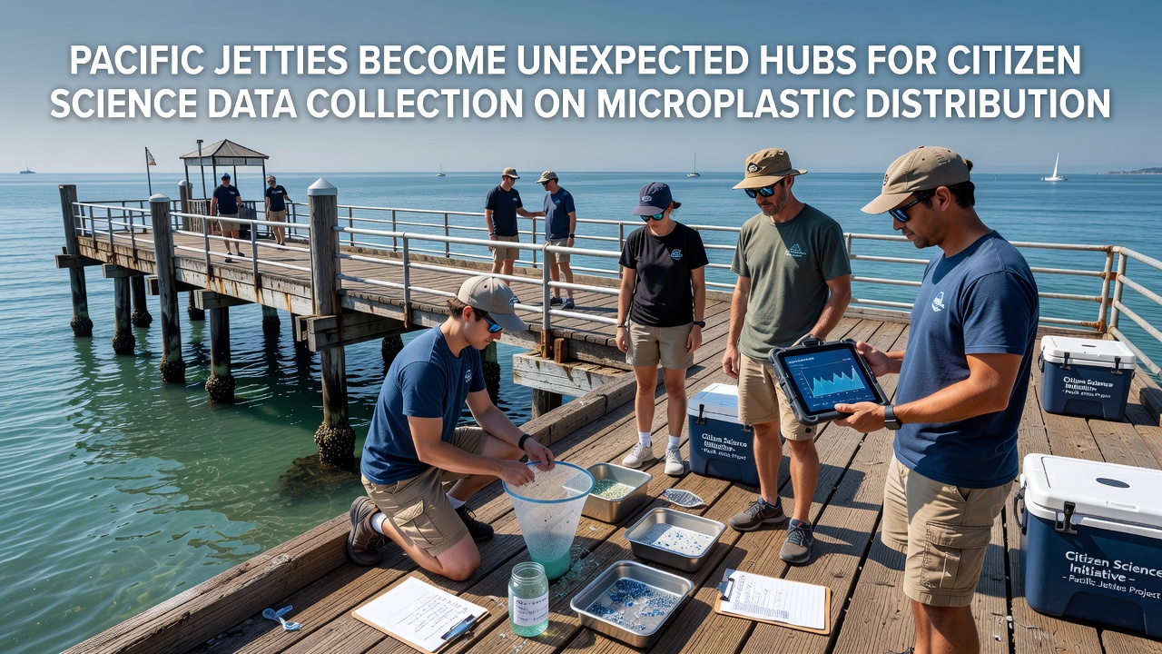
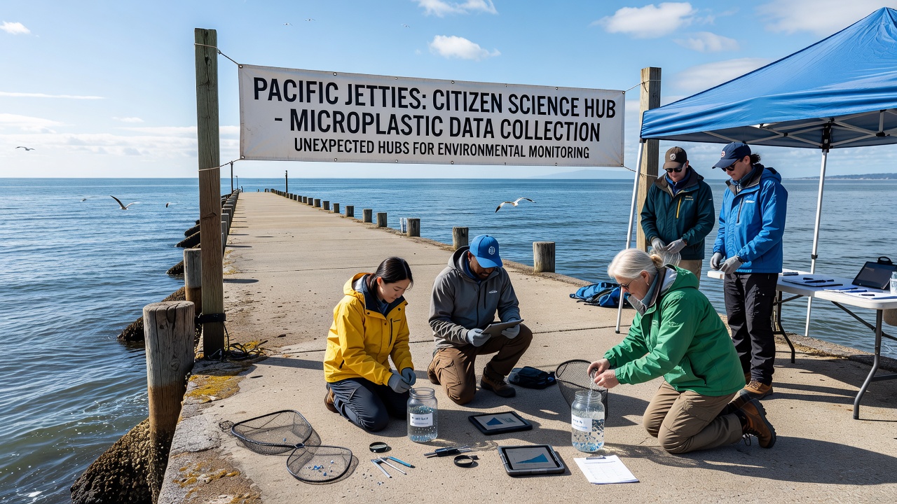
Coastal communities along the Pacific have turned jetties into active sites for tracking microplastic particles, where volunteers now gather samples that feed into broader environmental databases. These structures, built originally for navigation and erosion control, now support regular collection efforts that span from California through Oregon and into Washington state, with similar programs emerging in British Columbia. Participants use standardized kits to collect water and sediment samples, then log particle counts and types through mobile apps that connect directly to research networks.
Expansion of Volunteer Monitoring Networks
Programs coordinated by local universities and regional agencies have grown steadily since 2023, drawing in residents who receive training on identification protocols and data entry standards. One team in Monterey Bay documented a 40 percent increase in sampling sessions between 2024 and 2025, while groups near the Columbia River mouth reported consistent monthly submissions through the first half of 2026. These efforts align with larger initiatives that map particle distribution patterns across nearshore zones, where jetties create predictable eddies that concentrate debris.
Researchers at institutions such as the National Oceanic and Atmospheric Administration have incorporated citizen-collected datasets into models that predict transport routes for microplastics originating from urban runoff and maritime sources. The data reveal higher concentrations near jetty tips compared to adjacent beaches, a pattern attributed to current deflection and wave refraction that traps smaller fragments. Volunteers also note seasonal spikes, particularly after winter storms that flush additional material from river systems.
Methods and Equipment Used in Field Collections
Standard procedures call for sieving surface water through mesh sizes ranging from 0.3 to 5 millimeters, followed by visual sorting under portable microscopes. Participants record GPS coordinates, water temperature, and tidal stage for each sample, then upload photographs for verification by laboratory staff. Equipment kits distributed through community centers include reusable filters and pre-labeled vials that reduce contamination risks during transport. Training sessions emphasize consistent counting techniques to maintain dataset reliability across different volunteer groups.
Digital platforms aggregate submissions in real time, allowing program coordinators to identify gaps in coverage and redirect efforts toward underrepresented jetty segments. In September 2026, several networks plan synchronized sampling events timed with neap tides to capture baseline conditions ahead of expected seasonal shifts. These coordinated campaigns build on prior years' results, where particle density maps helped identify hotspots linked to nearby port activities and stormwater outfalls.
Integration with Regional Research Projects
Academic partners have cross-referenced volunteer records with satellite imagery and autonomous sensor readings to refine estimates of microplastic flux through coastal corridors. A study from the University of Victoria, for instance, combined citizen data with hydrodynamic simulations to trace particle pathways from the Salish Sea outward into the open Pacific. Findings indicate that jetty-adjacent zones act as temporary reservoirs, with residence times varying from days to weeks depending on wave energy and sediment composition.
Observers note that participation rates remain highest in areas where local schools incorporate sampling into environmental science curricula, creating repeat volunteers who refine their techniques over multiple seasons. Data quality checks performed by partner laboratories show agreement rates above 85 percent between citizen counts and professional analyses when protocols are followed closely. These verification steps support broader use of the datasets in policy discussions around waste reduction targets set by state and provincial governments.
Challenges in Sustaining Long-Term Collection Efforts
Logistical hurdles include securing consistent funding for kit replacements and maintaining volunteer engagement during off-peak months. Some groups have addressed these issues through partnerships with fishing cooperatives that supply vessel access during scheduled outings, while others rely on grants from environmental foundations to cover equipment costs. Weather-related cancellations still disrupt schedules, yet many programs have shifted toward flexible rescheduling that preserves overall data continuity.
Geographic expansion continues, with new sites added near the Strait of Juan de Fuca and along the Oregon coast where jetty modifications for navigation improvements have created additional sampling opportunities. Coordination meetings held quarterly bring together representatives from different regions to standardize methods and share lessons on recruitment strategies.
Conclusion
Pacific jetties now function as distributed observation points that extend the reach of professional monitoring programs through sustained citizen involvement. The resulting datasets contribute measurable detail to distribution models while fostering direct community connection to coastal conditions. Continued coordination through 2026 and beyond will determine how effectively these collections inform management decisions on marine debris reduction across the region.